 |
Kaycee
is located in north-central Wyoming's Johnson County, about 70 miles north of Casper and 45 miles south of Buffalo. As of the 2010 census, the population of Kaycee was 263 full-time residents. The town was incorporated in 1906 and was home to a general store and a post office. Today, it boasts a school, three churches, two bars, one restaurant, a store, a museum - but not one single stoplight is in the town. The town's museum preserves the cattle ranching history of the area. The region surrounding Kaycee is filled with Old West history: homesteads, outlaws hideout and shootouts, rustler's ranches and Indian battles. The town of Kaycee itself was important in the Johnson County War, one of the most significant events in the U.S. Old West history. The town sits on the banks of the Powder River just off Interstate 25. West of the town is the infamous "Hole-in-the-Wall-Country" where legendary outlaws Butch Cassidy and the Sundance Kid and the rest of the Hole-in-the-Wall gang hid out. The scenery varies from rangeland to red rock buttes and steep canyons. Also, the Bozeman Trail, which linked the Oregon Trail to the Montana gold mines, can still be viewed east of Kaycee. A military post, Old Fort Reno, was established on the Bozeman Trail to protect the pioneers traveling west from the Indians.

|
Kaycee Vacation Rentals
|

|
|
|
|
|
Kaycee Hotels and Resorts
|
|
|

|
Kaycee Weather & Climate
|

|
|
|
Central Wyoming has a semi-arid climate with long, cold winters and hot, dry summers. Spring and autumn are short and mild. This region sits at an elevation of 5,200 feet, and temperatures plummet at night - even on hot summer days. Snowfall is heavy during the winter, and falls from October through April. Rain is heaviest in spring and early summer - but even then, it's rarely high. Generally, the state of Wyoming is one of the driest and windiest places in the United States. Thunderstorms are possible, but are most common in the southeastern plains. Winters are cold - sometimes extremely so, interspersed with milder periods. Chinook winds provide warmer than normal temperatures in some locations.
|
| Month |
High Temp |
Low Temp |
Rainfall |
Ocean Temp |
| January |
35°F |
5°F |
0.44 in. |
- |
| February |
40°F |
11°F |
0.40 in. |
- |
| March |
48°F |
20°F |
0.81 in. |
- |
| April |
56°F |
28°F |
1.49 in. |
- |
| May |
66°F |
38°F |
2.56 in. |
- |
| June |
78°F |
47°F |
2.09 in. |
- |
| July |
86°F |
53°F |
1.25 in. |
- |
| August |
85°F |
51°F |
0.87 in. |
- |
| September |
74°F |
39°F |
1.11 in. |
- |
| October |
61°F |
29°F |
1.28 in. |
- |
| November |
45°F |
16°F |
0.56 in. |
- |
| December |
37°F |
8°F |
0.40 in. |
- |

|
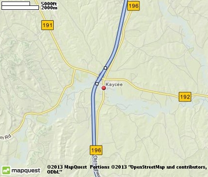
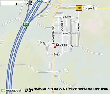
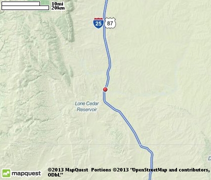
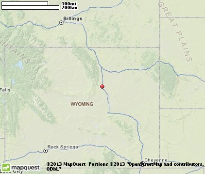
Kaycee Map & Transportation
|

|
|
 |
|
|
| Click each thumbnail image to enlarge. |
 |
|
 |
 |
The closest airports in the area are the Natrona County International airport (CPR) located about 56 miles south of Kaycee in Casper, Wyoming, the Worland Municipal airport (WRL) located approximately 67 miles north of Kaycee in Worland, Wyoming, the Gillette Campbell County airport (GCC) located roughly 70 miles northeast of Kaycee in Gillette, Wyoming, and finally the Sheridan County airport (SHR) located around 75 miles north of Kaycee in Sheridan, Wyoming.
|

|
Kaycee Attractions
|

|
|
| | | Ski Areas |
| Hogadon | Casper | WY | 60.6 mi. | | | Antelope Butte Ski Area | Dayton | WY | 86.2 mi. | |
| | | Museums |
| Jim Gatchell Museum | Buffalo | WY | 44.2 mi. | (History) |
Notice a problem with the information on this page? Please notify us.
|
Disclaimer: We recommend you conduct your own research regarding all accomodations and attractions found on this website. The distances shown on this website are straight-line distances as the crow flies. The road distance may be considerably longer. You assume all liability for use of any information found on this website. No information is confirmed or warranted in any way. By using our services you agree to the terms and conditions of this disclaimer.
|
| We are the #1 site for your Alaska Vacation presenting Wyoming vacation rentals, hotels, weather and map for each city. |
Wyoming Vacation .com
©1997-2024 All Rights Reserved.
|
|